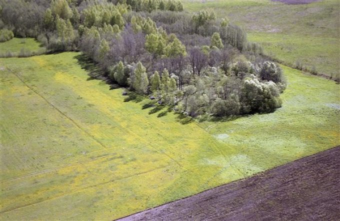
The mound is located in an almost level place, at an altitude of 1 m. The site is an irregular octagonal shape, 45 m in diameter, surrounded by a 2 m wide, 0.5 m deep ditch. On the southwest side there is a 3 m wide entrance.
The northern part of the site, 10 m wide, was destroyed by amelioration. The mound is overgrown with deciduous trees. It is managed by K. Zizas, who took the land next to it, cut down small bushes, built a carved board, benches, etc.
The mound is known as Martyniškės and Jewish cemetery.
The mound dates back to the 1st millennium (?).


