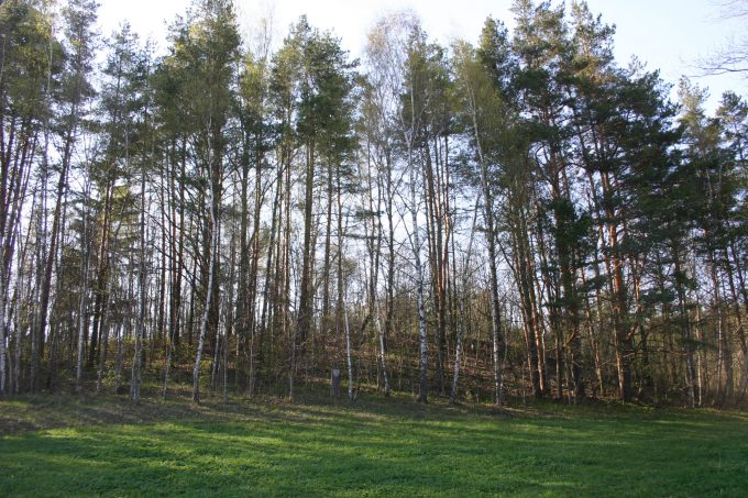
The mound is located on a separate hill, on the right bank of a nameless stream. The site is oval, 2 m lower on the north-western edge. Streaked pottery was found in it. 1.5 m below the site, on the north-western slope there is a 4 m wide, 0.2 m deep ditch, behind which is poured a 30 m long, 0.2 m high, 4 m wide embankment, on the outside of which there is a 5 m wide terrace running and south, southeast slopes. Slopes of medium steepness, 10 m high.
The mound is covered with plows, overgrown with deciduous trees.
At the mound in the southwest, in the area of 0.4 ha, there is a foothill settlement (researched in 2001). Smooth pottery was found in it.
The mound dates back to the end of the 1st millennium BC – the middle of the 1st millennium.


