Lietuviškai
 Latviešu
 English
 Русский


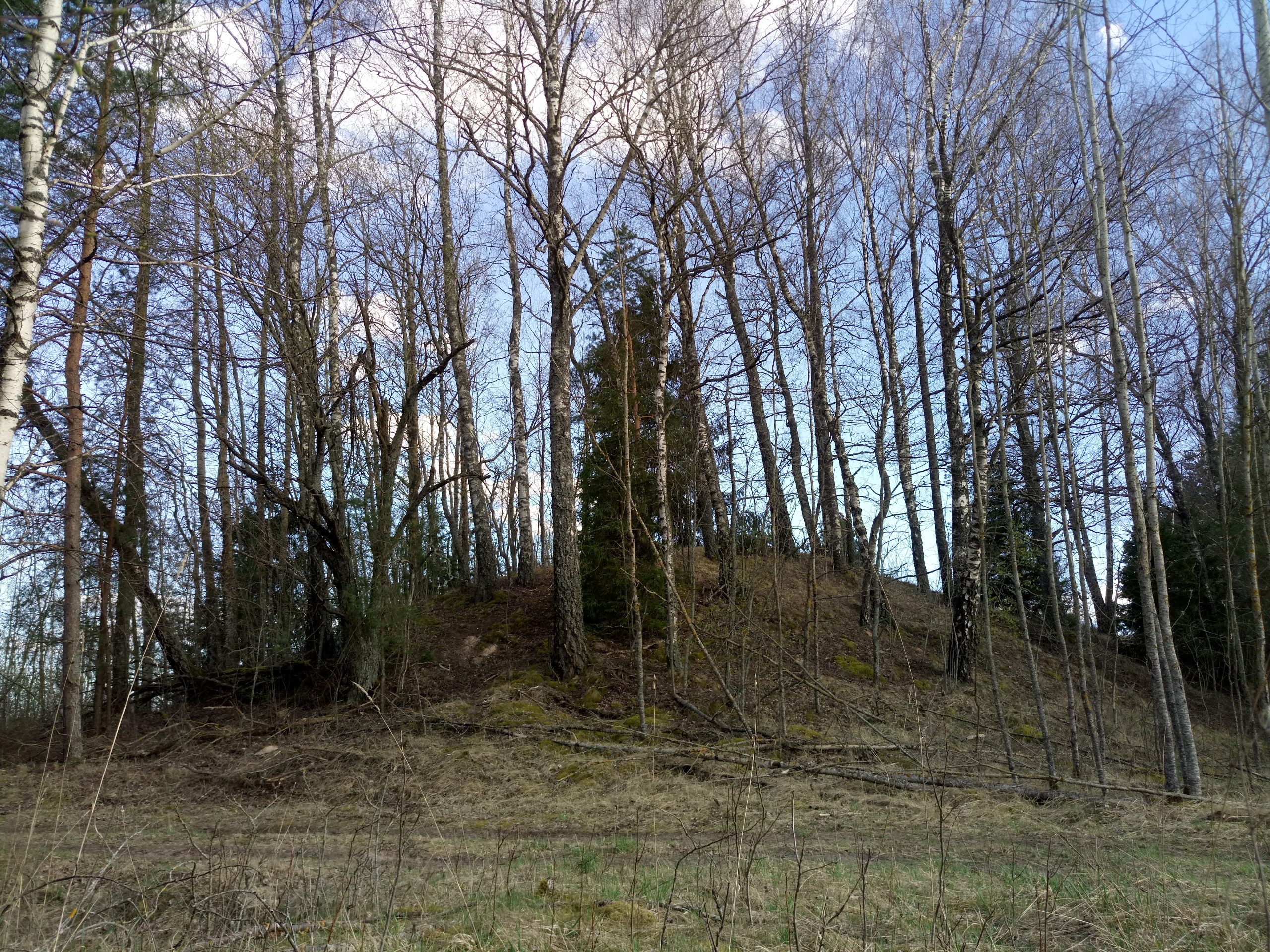

The mound is located in the upper middle part of an elongated hill-back, separated by natural depressions. The site has an irregular triangular shape. The former embankment has now been poured here. There is a 1.5 m wide terrace in the south-west corner of the site. The slopes are steep, 4-7 m high.
Also known as Smailiakalnis.
19th century former cemetery was built on mound. The slopes are overgrown with birch.
Near the mound in the area of 0.3 ha there is a settlement at the foot, where lined and smooth pottery has been found.
The mound dates back to the end of the 1st millennium BC – the beginning of the 1st millennium.