Lietuviškai
 Latviešu
 English
 Русский

“Yes, the bow is invisible to the eye, it can only be imagined on the globe. But it deserves global recognition because it has set the exact parameters of our planet and allowed us to create accurate maps”, explains an 81-year-old Pranciškus Motuzas, who worked as a geodesist in Rokiškis.
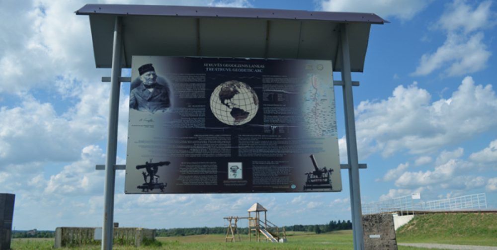
The Struve Geodetic Arc is a unique example of scientific development, cooperation between scientists from different countries, as well as government cooperation in the field of science, stretching over 2,820 km from Hammerfest (Norway) to the Black Sea and crossing 10 countries. The Struve Geodetic Arc was inscribed on the World Heritage list in 2005.
Friedrich Georg Wilhelm Struvė and colleagues began measuring the geodetic arc in several places. One of the first measuring places is in Pandėlys in Rokiškis district. Work here began exactly 200 years ago in 1820. Then he chose another point – a small village of Jokšiai in Kupiškis district, on a flat but high place, so that trees and buildings would not block the view.
Then in Pandėlys and Jokšiai the scientists built wooden towers, called majakai in Lithuanian slang (sign/signal) at the height similar to Rokiškis church. Majakai were needed so that the workers could lift their gadgets to the top. Then they had to choose another – the third point. Thus, near Panemunėlis the third point of this triangle, which consisted of Pandėlys, Jokšiai and Gireišiai, appeared.