Lietuviškai
 Latviešu
 English
 Русский

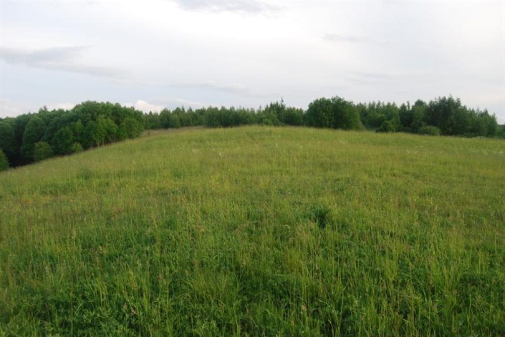
The mound is located on the northern shore of the highland on the western shore of Lake Dirdai. The site is quadrangular, 75×45 m in size, up to 1 m higher on the south and east sides. Slopes of medium steep – steep, 1.5 (south) – 25 m (east) height.
The mound is heavily destroyed by plowing, soiled, the lower part of the eastern slope is overgrown with trees.
The mound dates back to the 1st millennium BC – the beginning of the 1st millennium.