Lietuviškai
 Latviešu
 English
 Русский

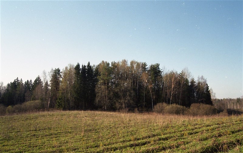


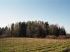
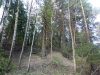

The mound is located on a separate hill on the right bank of the Šetekšna. The site is oval, the slopes are medium-steep, 3-7 m high. It is also called the Koplyčkalnis.
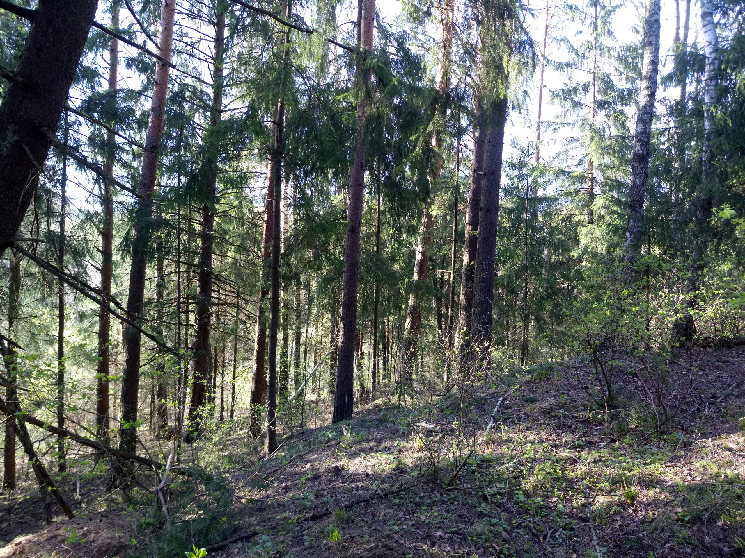
The mound was damaged by plowing and fox caves, the southern slope was washed away. It is now overgrown with mixed forest.
To the north-east of the mound, on an area of 0.2 ha, there is a foothill settlement where molded pottery has been found.
The mound dates back to the end of the 1st millennium BC – the beginning of the 1st millennium.
Photographer Zenonas Baubonis from Vilnius University, Faculty of Communication.